By Troy Barnes – Dec. 3, 2018
For more than a century, direction finding systems have been one of the military’s key tools for detecting and intercepting enemy signals. But even with today’s technological advances, which have largely traded trench warfare for cyber warfare, directional finding systems have maintained their relevance. Learn more about how direction finding systems work and how they’ve adapted to respond to modern threats.
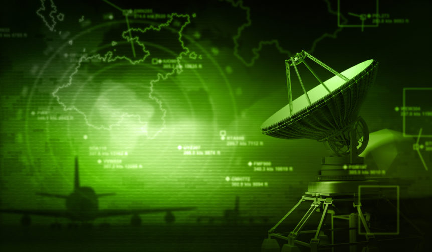
The Basics of Direction Finding
While direction finding systems have evolved dramatically over the years, they continue to rely on the same basic principles. The first radio direction finding systems (RDFs) used antennas that were mechanically rotated to compare signal strengths from different areas, eventually pinpointing enemy signals and helping identify the point of origination. While rudimentary by today’s standards, these systems provided a distinct advantage for armies that might otherwise have been outmanned or outmaneuvered.
Modern Direction Finding Technology and Equipment
Today’s direction finding systems still use antennas in some form but combine them with high-tech geolocation equipment, multichannel monitoring, and super-resolution direction finding (SRDF) components to create the most advanced interception systems possible.
And not only can direction finding systems determine from where certain signals are emanating, but they can also intercept the contents of many radio- and electronically-transmitted communications. Decoding (and, if necessary, translating) these communications can provide the Department of Defense (DoD) with the information it needs to launch a strike or take protective measures.
Some of the features the DoD has commissioned for its direction finding systems include:
- Geolocation Manager Software
This software relies on comprehensive world mapping to network dominant frequency (DF) sites so that estimated signal bearings at different sites can be overlaid on a single map. This allows military and defense personnel to determine, at a glance, how signals are being transmitted from just about anywhere on the globe.
- Wideband and Narrowband Data Monitoring
By combining wideband and narrowband data, today’s direction finding systems can examine and detect energy throughout the full high-frequency spectrum. A Windows®-based graphical interface allows users to easily monitor the spectrum, select frequencies, and control other aspects of the system from one simple vantage point.
- Multichannel Monitoring
Sometimes, having access to just a few narrowband frequency channels isn’t enough. Today’s receivers can provide dozens of distinct narrowband channels, and if you need even more, you may be able to connect two receiver units to double the capacity for larger systems.
These technological advances reflect the enduring importance of intercepting enemy communications and determining their source. While it’s no longer necessary to deploy old-style antennas on the battlefield to detect enemies that are within ballistics range, by using high-tech maps and other software to pinpoint the source of harmful communications, the DoD is well-equipped to ferret out enemy combatants and take any further action that may be deemed necessary.